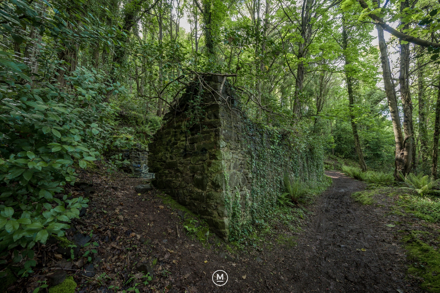
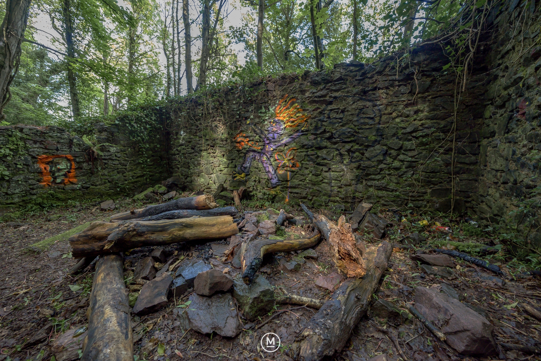
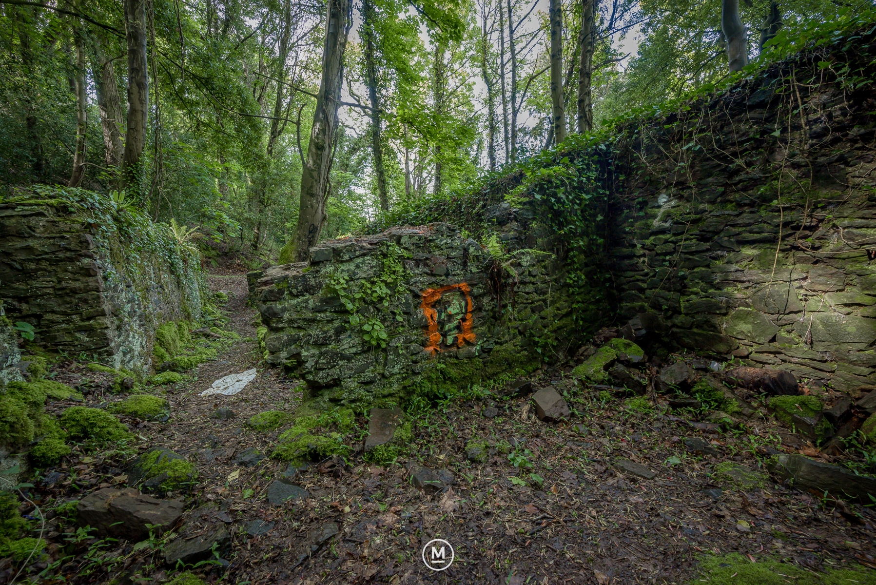
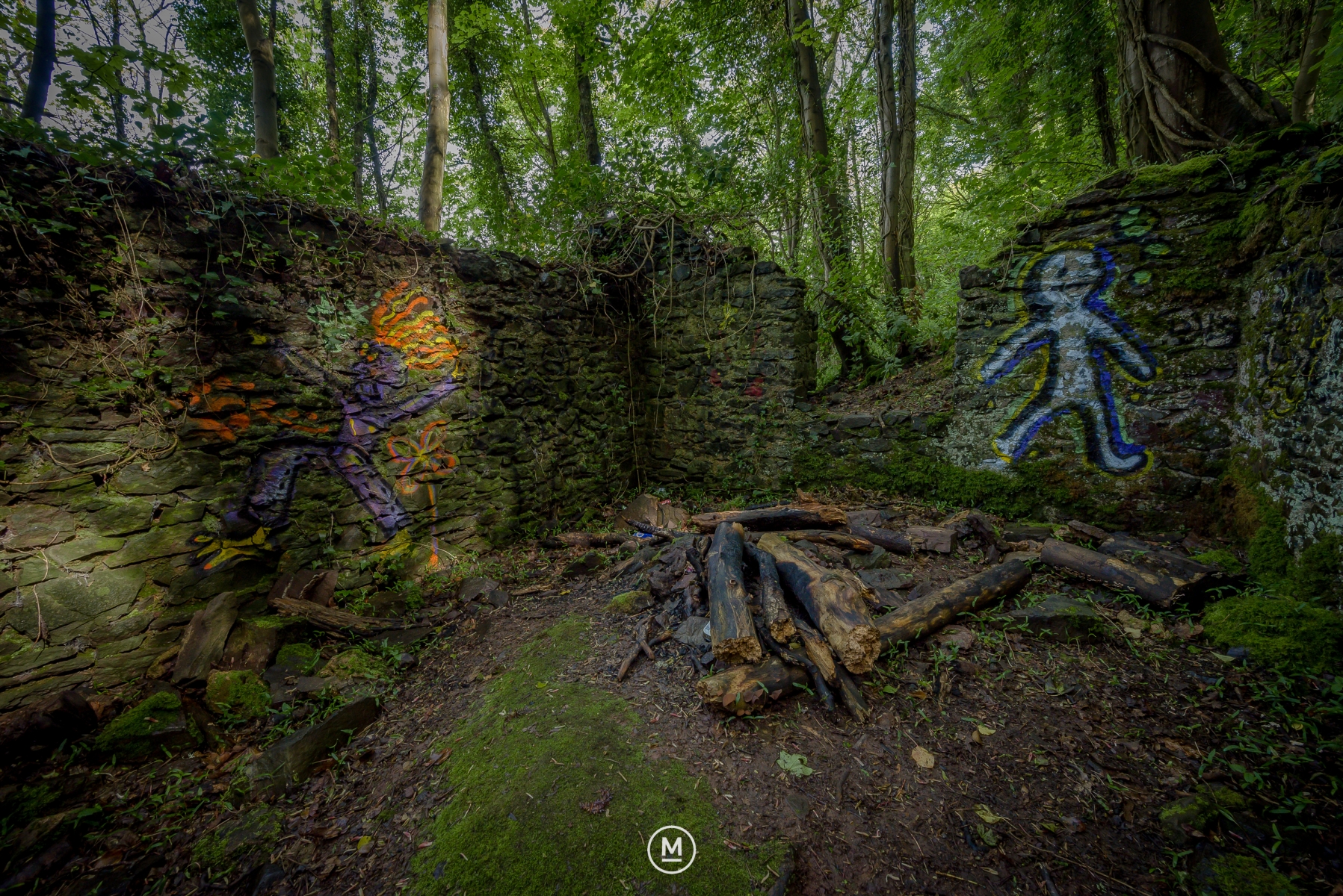
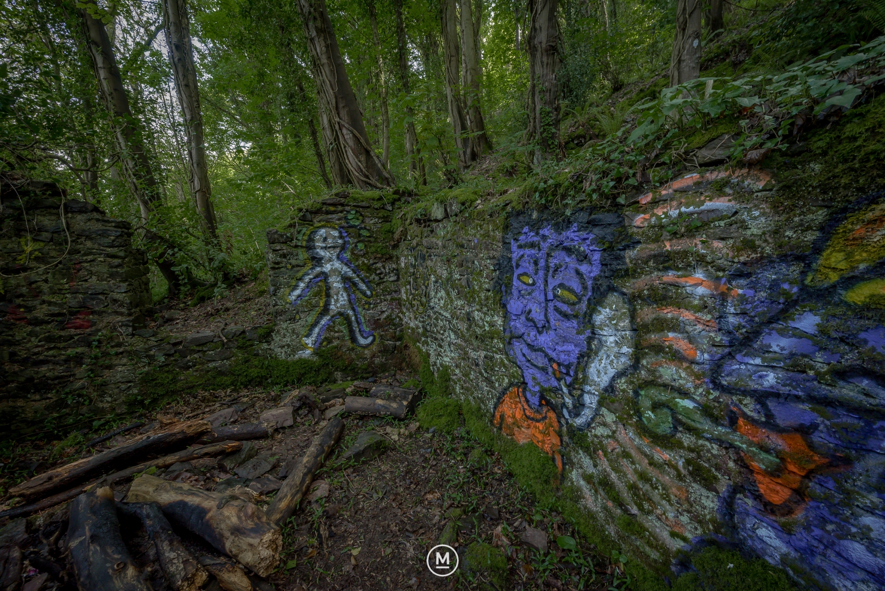
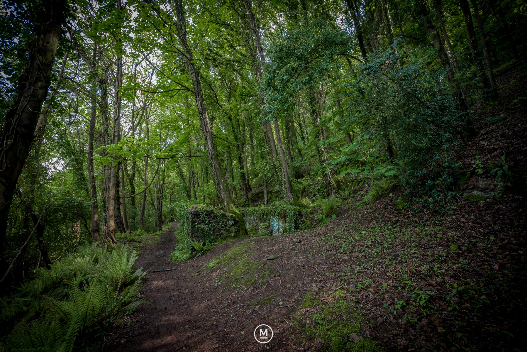
An abandoned structure with a rectangular platform measuring 13.7 by 4.5 metres remains partly standing within Culver Cliff Woods, located on the edge of the Exmoor National Park, approximately a 3-mile uphill walk from the centre of the seaside town of Minehead in the South West of England.
Although its function and date are unknown, it is assumed to have something to do with farming or other industrial operations.
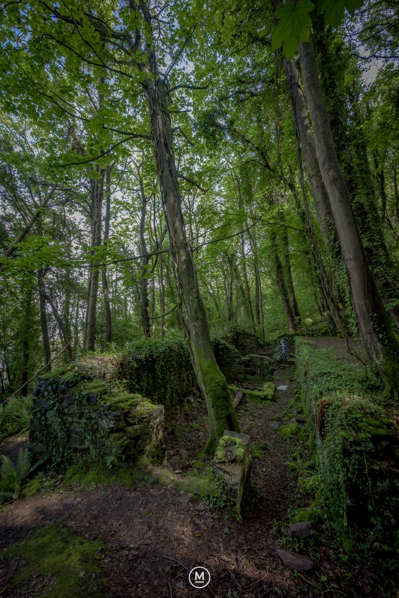
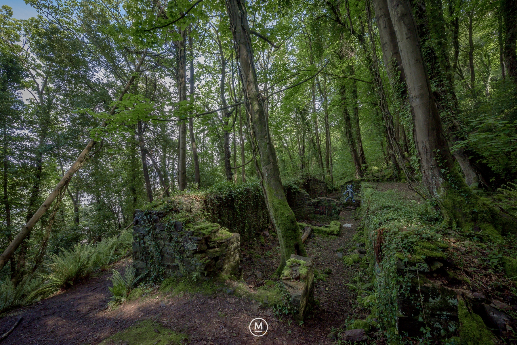
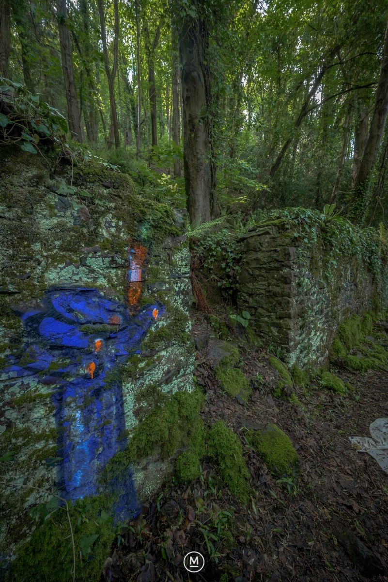
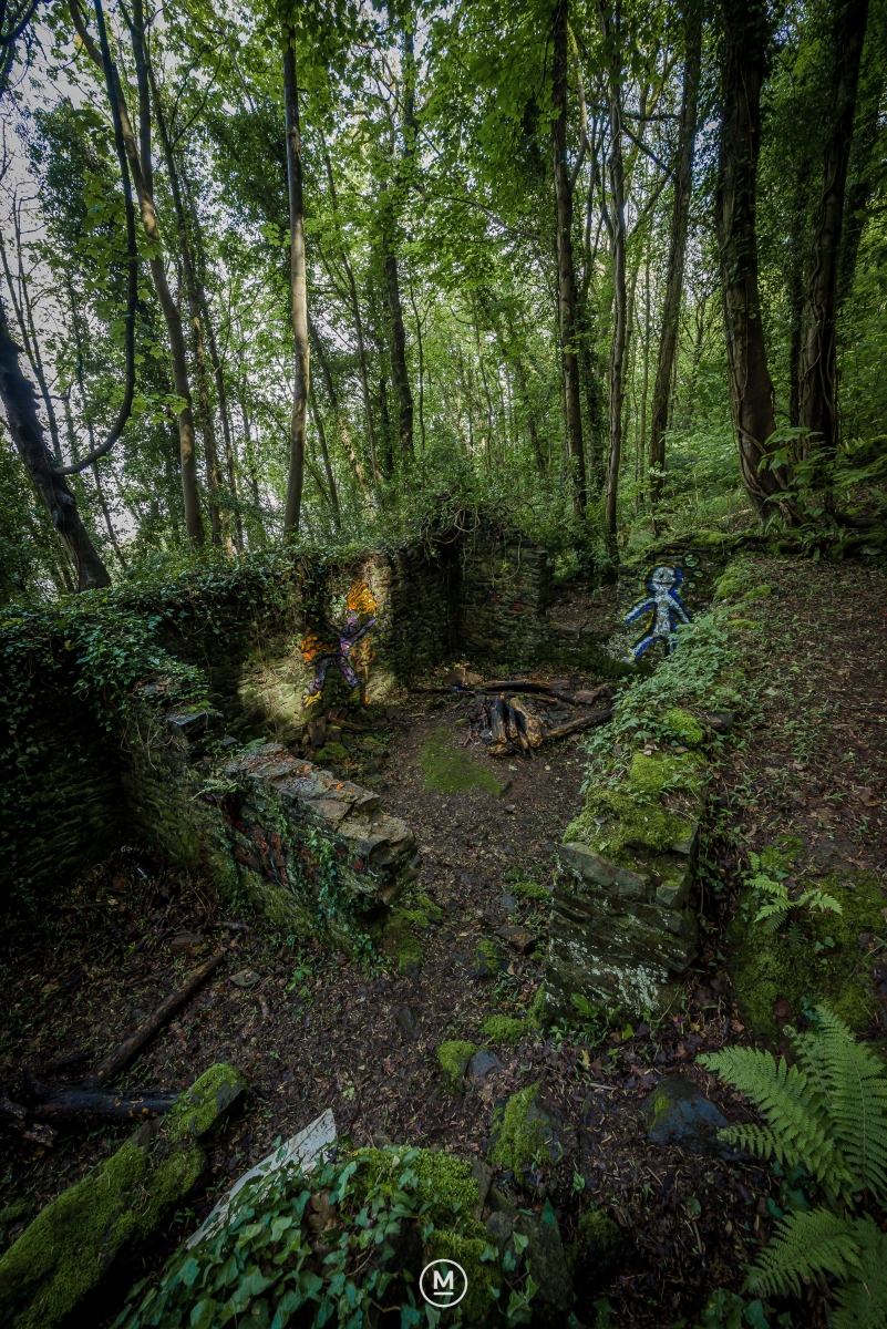
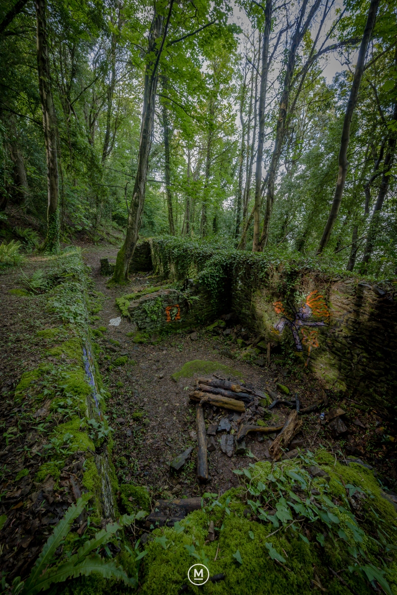
On the north-facing slopes in Culver Cliff Wood, a collapsed structure still exists where nature is reclaiming the land. The building is rectangular, measuring 13.7 by 4.5 metres and running northwest to southeast. The walls are made of roughly coursed stone, with the northeastern, northwestern, and southeast walls rising to a maximum height of 2 metres.
The northwest end has a doorway, and the southeast and northwest ends also have window openings. A gap halfway down the southwest wall, which functions as a retaining wall against the sharp natural embankment, may have provided access to or allowed the material to be carried from a nearby platform.
The single interior feature is a 2.7 x 3.5 m inner room that is linked to the northern wall.
An entry point to this platform was from the building’s northwest corner, and it was a rectangular platform with remains of wall footings on its southwest side.
It is unknown what this structure was used for or when, although it is likely to have served an industrial purpose. As a result, it could be connected to the sizable platform 140 metres to the southeast.
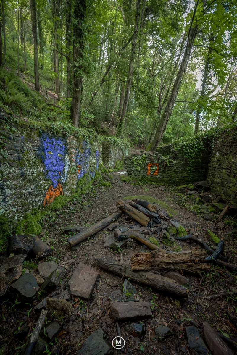
The land is currently public access with evidence supporting this being seen as graffiti on the walls and the remains of a campfire.
With the current land owner being the Exmoor National Park.
Accessed 6th May 2023.
Audio Soundscape
Accreditation
Images / Audio © Mark Stothard
Location
| Grid reference | Centred SS 9656 4742 (13m by 14m) MasterMap |
|---|---|
| GPS – What 3 Words | 51°13’0.1308″ N 3°28’56.8488″ W – ///degree.sheepish.dramatic |
| Map sheet | SS94NE |
| Civil Parish | MINEHEAD, WEST SOMERSET, SOMERSET |
Sources
- Exmoor National Park Historic Environment Record : Access on 1st April 2023
- Historic England Research Records : Access on 3rd April 2023
- The field archaeology of North Hill : Access on 4th April 2023
- National Record of the Historic Environment : Access on 5th April 2023
- Somerset Historic Environment Record : Access on 6th April 2023

